


OUR POSITIONING
From Land Measurement to Geospatial Solutions
LAOEarth follows a progressive approach to geospatial services.

Our journey starts with measurement — and grows toward intelligent geospatial information.
WHAT WE DO
Survey • Capture • Map • Analyze • Model
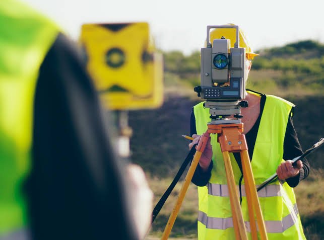
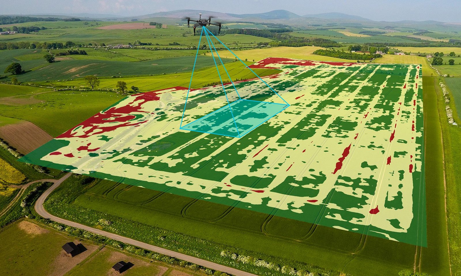
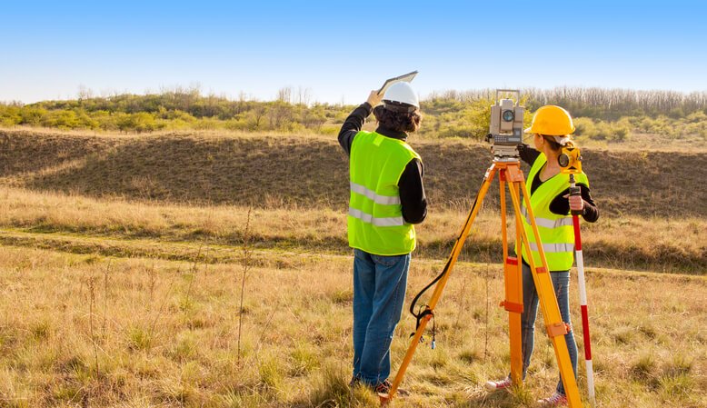
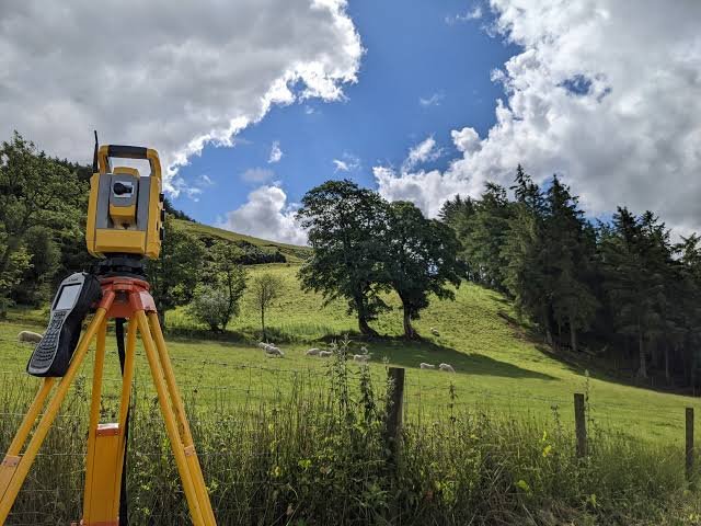
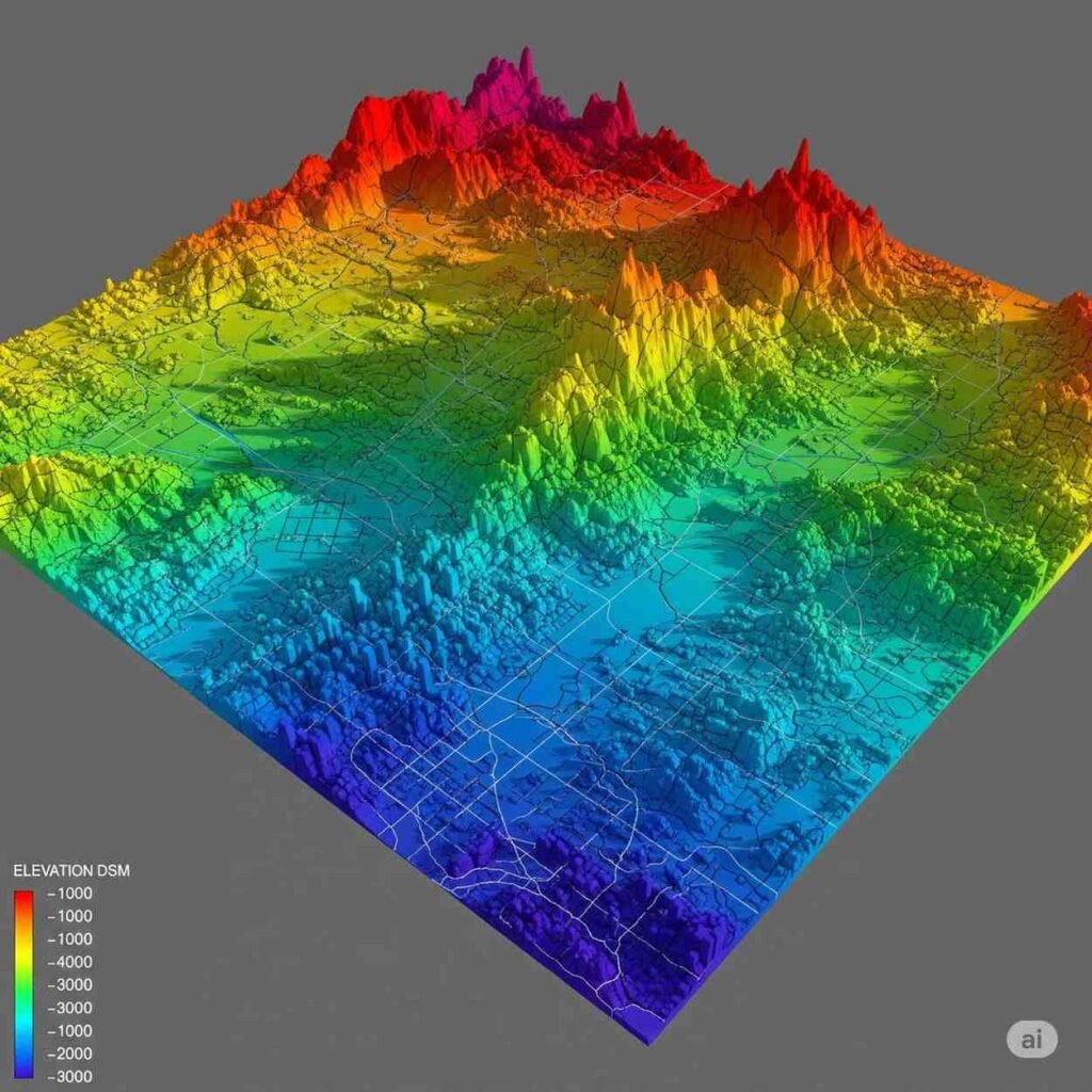
LAOEarth provides an integrated geospatial workflow, beginning with professional land measurement and extending into advanced spatial technologies.
OUR CONNECTION WITH LAOVALUE

Professional Land Information Supporting Better Property Decisions
relationship between:
Survey → Property Information → Valuation → Decision-Making
Accurate land and spatial information can provide an important foundation for property valuation, development planning, investment analysis and asset management.
Through this connection, LAOEarth and LaoValue can provide clients with complementary expertise across the property information and valuation lifecycle.
Sed non mauris vitae erat consequat auctor eu in elit. Class aptent taciti sociosqu ad litora torquent per conubia nostra, per inceptos himenaeos. Nullam ac urna eu felis dapibus condimentum a augue in erat justo.
Sed ut imperdiet nisi. Proin condimentum fermentum nunc. Etiam pharetra, erat sed fermentum feugiat, velit mauris egestas quam, ut aliquam massa nisl quis neque. Suspendisse in orci enim.
WHY LAOEarth?
Aliquam ac dui vel dui vulputate consectetur. Mauris accumsan, massa non consectetur condimentum diam arcu
Local Knowledge
We understand the land, operating environment and development conditions of Lao PDR.
Professional Foundation
Our surveying services are supported by the Land Survey & Measurement Department of
LaoValue.
Modern Technology
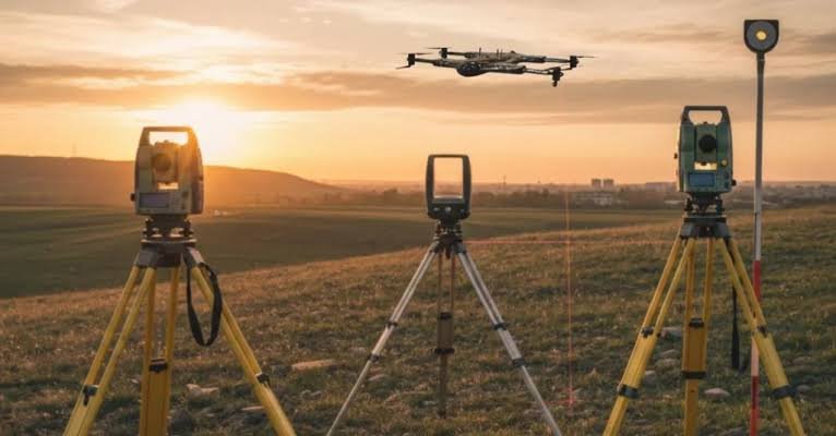
We progressively adopt GNSS, Total Station, Drone, LiDAR, SLAM, GIS and 3D technologies.
Integrated Solutions
One service platform from land measurement to mapping, spatial information and 3D visualization.
Reliable Data
We place strong emphasis on accuracy, quality control and practical deliverables.
Future Ready
We are building the foundation for more connected and digitally managed land and physical assets in Lao PDR.
OUR COMMITMENT
Accuracy. Integrity. Innovation.
At LAOEarth, we believe that:
Good decisions begin with good information.
We are committed to providing geospatial information that is:
Accurate — because precision matters.
Reliable — because decisions depend on trustworthy data.
Professional — because every project deserves a high standard of service.
Innovative — because technology continues to transform how we understand the physical world.
Practical — because data should create real value for our clients.
THE FUTURE OF LAOEarth
From Land Measurement to Digital Twin As Lao PDR continues to develop its cities, infrastructure, agriculture, industrial zones, mining operations and real estate markets, the need for accurate spatial information will continue to grow.
LAOEarth aims to support this transformation. Our journey begins with Land Survey & Measurement. It expands into Mapping, GIS, Drone and LiDAR. It develops further through 3D Reality Capture and 3D Modelling. And ultimately leads toward Digital Twins and intelligent geospatial solutions. From measuring land to understanding the world digitally. LAOEarth shall become dependence entity for the Survey, Mapping & Geospatial Solutions service within next 3 years.
________________________________________
LET'S WORK TOGETHER
Have Land to Measure?
A Project to Map?
An Asset to Digitize?
Talk to LAOEarth about your next surveying, mapping or geospatial project.
LAOEarth
Survey • Mapping • GIS • Drone • LiDAR • 3D Digital Twin
Survey, Mapping & Geospatial Solutions
Serviced by the Land Survey & Measurement Department of LaoValue Property Valuation Sole Co., Ltd.
LAOEarth — Measuring the Real World. Mapping What Matters.

This post is also available in:
LaoEarth now and Future