

MINING & QUARRY SURVEY
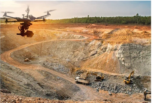
Measure the Mine. Monitor the Operation. Manage with Confidence. Mining and quarry operations require accurate information about terrain, excavation, stockpiles, volumes, boundaries and production progress.
LAOEarth provides specialized surveying and geospatial solutions for mining and quarry operations, combining GNSS, Total Station, drone mapping and LiDAR technologies. Our solutions help mine operators understand changing terrain, calculate material volumes and monitor operational progress.
What We Provide
• Mine topographic survey
• Open-pit mapping
• Quarry survey
• Mine boundary survey
• Stockpile volume calculation
• Cut-and-fill calculation
• Excavation monitoring
• Pit terrain mapping
• Haul road mapping
• Mine progress monitoring
• Slope and terrain analysis
• Rehabilitation monitoring
Tools & Technology
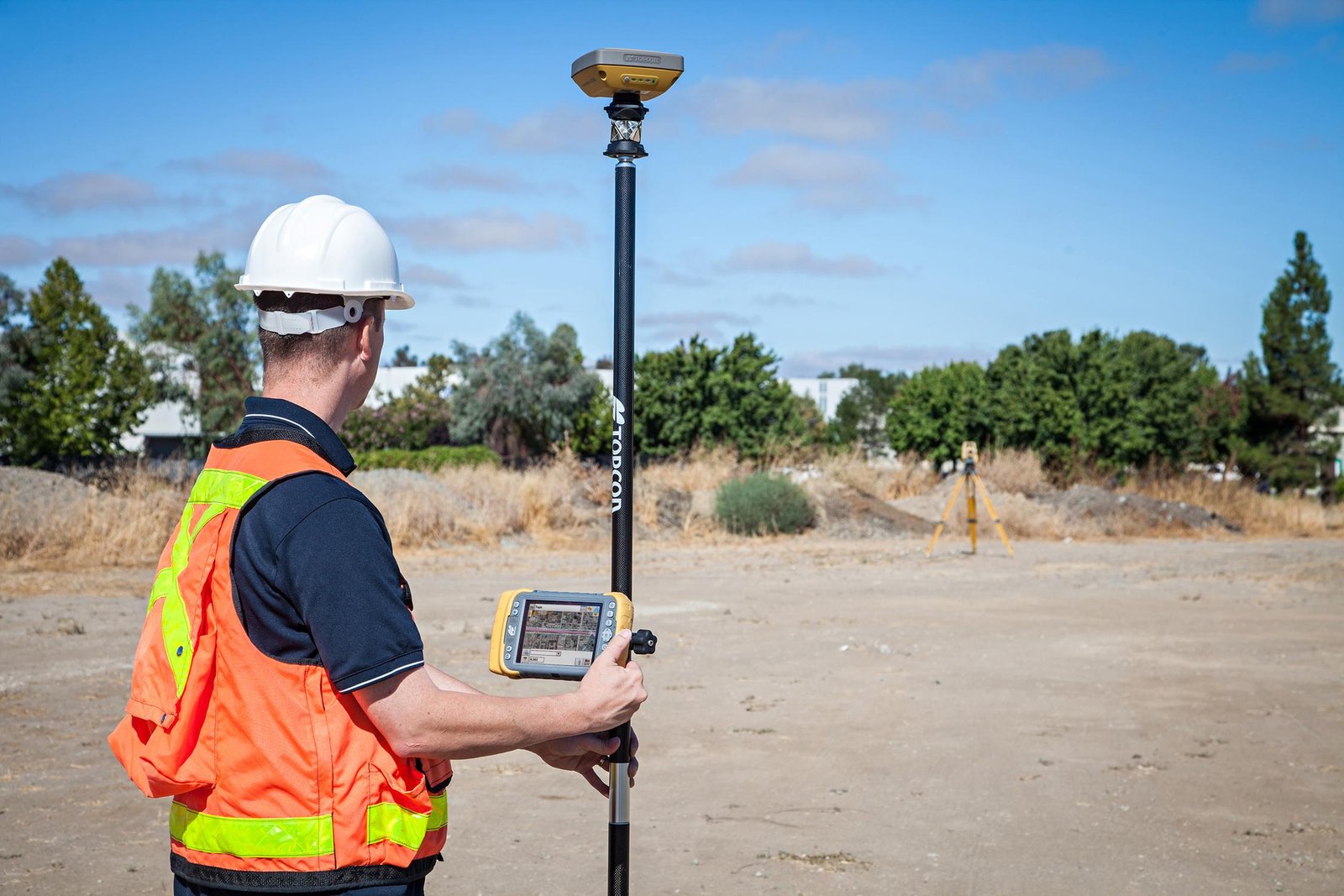
• GNSS RTK
• Total Station
• RTK / PPK Drone
• UAV LiDAR
• Photogrammetry
• Ground Control Points
• GIS
• 3D Point Cloud Processing
• Digital Terrain Modelling
Typical Applications
Buildings • Roads • Bridges • Industrial Facilities • Commercial Projects • Residential Development • Infrastructure
Deliverables
Setting-Out Data • Survey Drawings • Construction Control Data • Elevation Records • Cut/Fill Calculations • Progress Maps • As-Built Drawings • 3D Site Data
LAOEarth Advantage
Measure correctly before you build. Verify accurately while you build. Document precisely after you build.
This post is also available in: