


ENGINEERING & CONSTRUCTION SURVEY
Precision That Keeps Your Project Moving. Construction projects depend on accuracy.
A small positioning or elevation error can create significant problems later in construction. LAOEarth provides professional surveying throughout the project lifecycle—from the initial site survey and setting-out to construction monitoring and final as-built documentation.
Our survey data helps engineers, contractors and developers build according to design, reduce rework and maintain better project control.
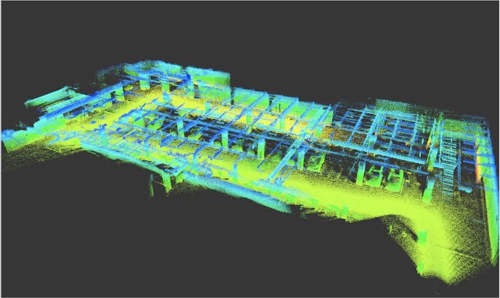

What We Provide Pre-Construction
• Existing site survey
• Topographic survey
• Construction control points
• Site coordinates and benchmarks
During Construction
• Building setting-out
• Foundation setting-out
• Column and structural positioning
• Road alignment
• Elevation control
• Earthwork measurement
• Cut-and-fill calculation
• Construction progress monitoring

Post-Construction
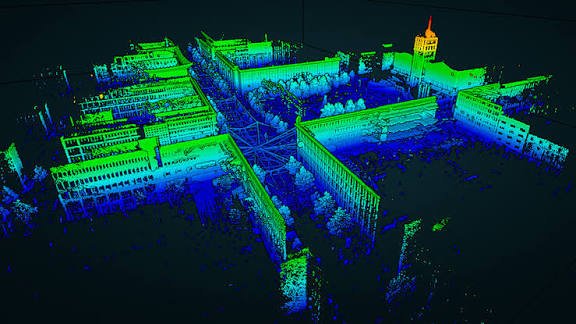
• As-built survey
• Dimensional verification
• Final elevation survey
• As-built drawings
• 3D documentation
Tools & Technology
• Total Station
• GNSS RTK
• Digital Level
• Laser Scanner
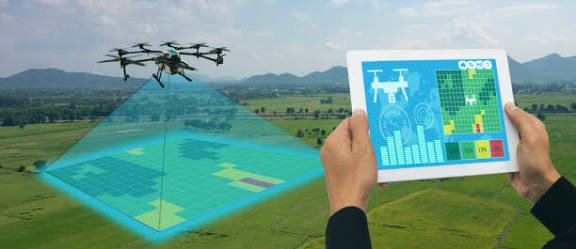
• Drone
• AutoCAD
• Civil 3D
• BIM / Revit
• Construction Survey Software
Typical Applications
Buildings • Roads • Bridges • Industrial Facilities • Commercial Projects • Residential Development • Infrastructure
Deliverables
Setting-Out Data • Survey Drawings • Construction Control Data • Elevation Records • Cut/Fill Calculations • Progress Maps • As-Built Drawings • 3D Site Data
LAOEarth Advantage
Measure correctly before you build. Verify accurately while you build. Document precisely after you build.
This post is also available in: