
ABOUT LAOEarth
Measuring the Real World. Mapping What Matters. Building the Digital Future.
LAOEarth is the Survey, Mapping & Geospatial Solutions service brand of LaoValue Property Valuation Sole Co., Ltd., delivered through the company's Land Survey & Measurement Department.
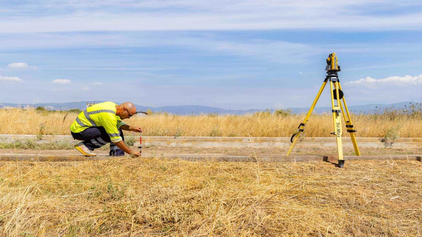
We provide professional land surveying, measurement, mapping and geospatial solutions for property, real estate, construction, infrastructure, mining, agriculture, industrial and land development projects in Lao PDR.
Our work combines professional surveying expertise, modern geospatial technology and local knowledge to transform physical land and environments into accurate, measurable and useful information.
From measuring a single land parcel to mapping large development sites, mining areas or infrastructure projects, LAOEarth helps clients measure, map, analyze, visualize and understand the physical world with confidence.
WHO WE ARE
More Than Land Measurement. Building a Geospatial Future.
Land is the foundation of development. Every property, building, road, mine, plantation and infrastructure project begins with one essential requirement:
Accurate information about the physical world.
LAOEarth was developed as the dedicated Survey, Mapping & Geospatial Solutions service of LaoValue, building on the company's professional experience in property valuation and land-related services.
Our foundation is Land Survey & Measurement.
From this foundation, we are developing broader capabilities in:
Survey • Mapping • GIS • Drone • LiDAR • 3D Modelling • Digital Twin
This enables us to move beyond traditional land measurement and provide clients with increasingly advanced ways to capture, map, analyze and digitally represent land, property and physical assets.
OUR VISION

To Become a Leading Geospatial Solutions Provider in Lao PDR
We envision a future where accurate geospatial information becomes an essential foundation for better land management, smarter investment, efficient development and sustainable growth in Lao PDR.
LAOEarth aims to contribute to this future by connecting:
Surveying → Mapping → GIS → Spatial Intelligence → 3D Digital Environments
OUR MISSION
01 — Accurate Data
To provide reliable, precise and professionally controlled survey and geospatial data that our clients can trust.
02 — Professional Surveying
To deliver land measurement and surveying services using appropriate professional procedures, equipment and quality-control practices.
03 — Technology Adoption
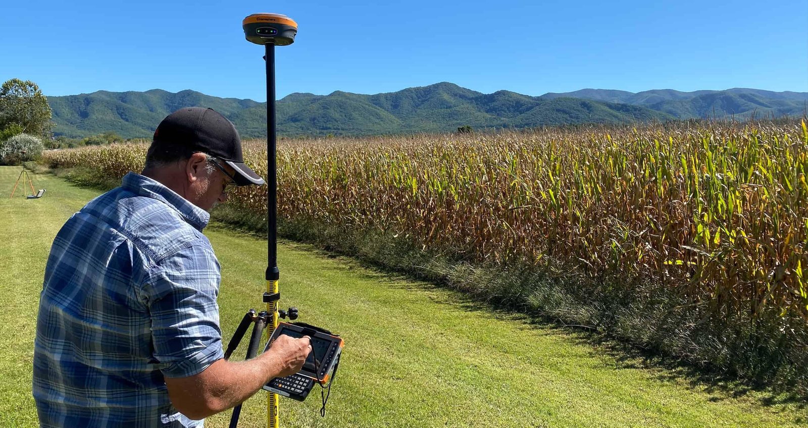
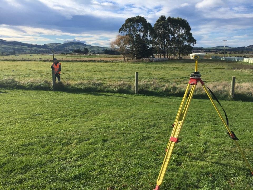
To progressively adopt modern technologies including GNSS RTK, Total Station, Drone, Photogrammetry, LiDAR, SLAM, GIS and 3D modelling.
04 — Practical Solutions
To transform spatial data into practical information that supports planning, development, valuation, construction and decision-making.
05 — Digital Transformation
To help businesses and organizations move from traditional measurements and paper-based maps toward digital spatial information and 3D environments.
WHAT WE DO
Survey • Capture • Map • Analyze • Model
LAOEarth provides an integrated geospatial workflow, beginning with professional land measurement and extending into advanced spatial technologies.
SURVEY
Accurately measure land, boundaries, terrain, elevations, structures and physical features.
Land Survey • Land Measurement • Boundary Survey • Topographic Survey • Site Survey • Engineering Survey
CAPTURE
Capture detailed spatial information using ground-based and aerial technologies where appropriate.
GNSS RTK • Total Station • Drone • Photogrammetry • LiDAR • SLAM • 3D Scanning
MAP
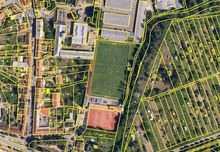
Transform survey and captured data into accurate maps and digital spatial information.
CAD • Orthophoto • DEM • DSM • DTM • GIS
ANALYZE
Turn spatial data into information that supports planning and decision-making.
Spatial Analysis • Terrain Analysis • Volume Calculation • Land-Use Analysis
MODEL
Create digital representations of physical environments and assets.
Point Clouds • 3D Models • 3D Mesh • BIM • Digital Twin
VISUALIZE
Make complex spatial information easier to understand, communicate and use.
3D Visualization • Interactive Models • VR/AR-Ready Models