3D DIGITAL TWIN & VISUALIZATION
From the Real World to a Digital World. Imagine being able to explore a building, mine, factory, development site or entire landscape digitally before standing on the site.
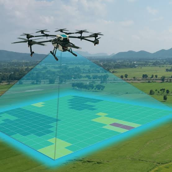
LAOEarth creates 3D models and Digital Twins by combining survey data, drone photogrammetry, LiDAR, laser scanning, GIS and 3D visualization technologies. A Digital Twin provides a digital representation of a physical asset or environment that can be used for planning, design, construction, monitoring, presentation and asset management.
What We Provide
• 3D terrain modelling
• 3D building modelling
• Reality capture
• Digital Twin development
• BIM/GIS integration
• Property visualization
• Construction visualization
• Mine 3D modelling
• Infrastructure visualization
• Asset documentation
• VR/AR-ready 3D models
• Digital asset management
Tools & Technology
• LiDAR
• Terrestrial Laser Scanner
• SLAM Scanner
• Drone Photogrammetry
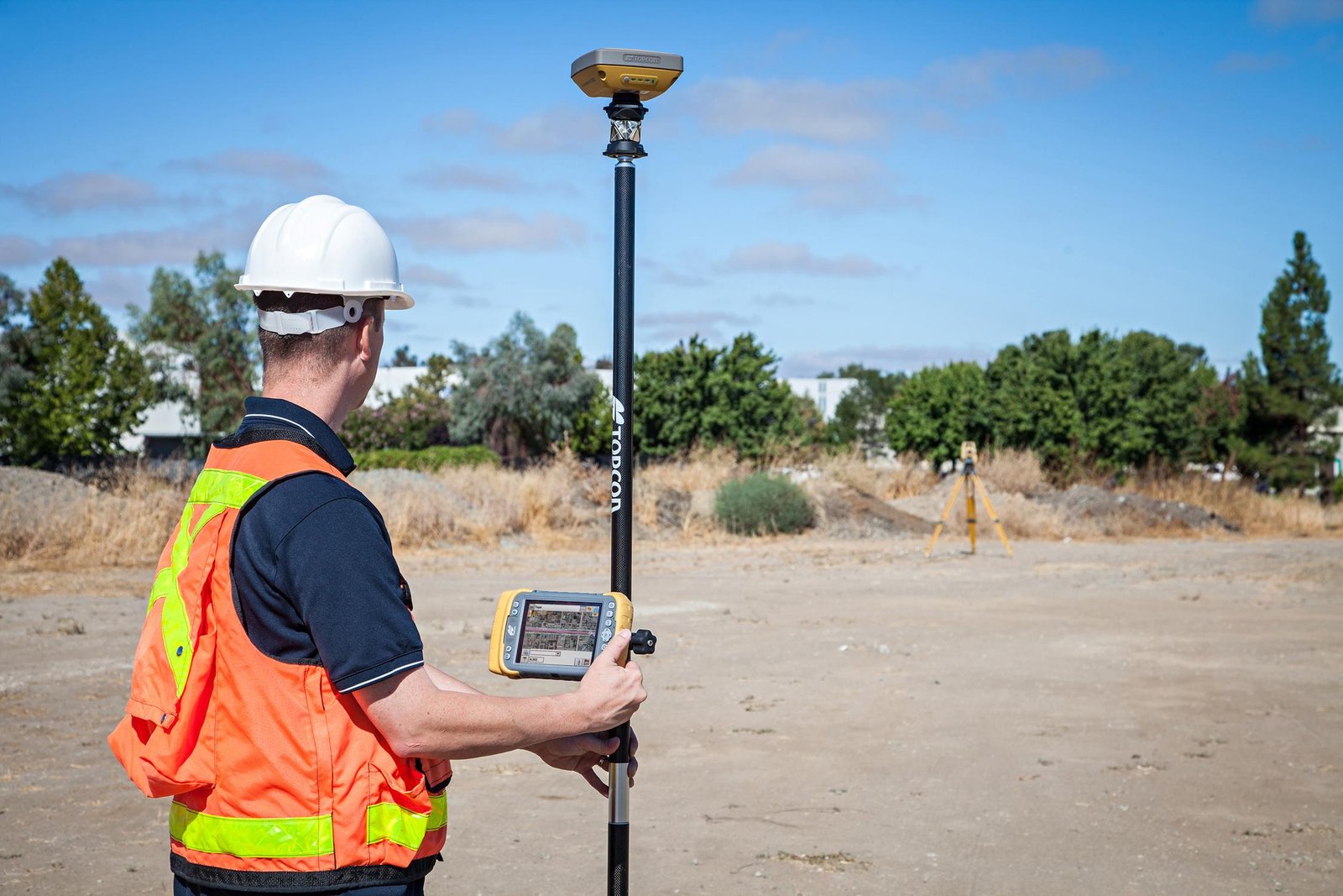
• GNSS RTK
• Reality Capture
• Autodesk ReCap
• Civil 3D
• Revit / BIM
• Unity
• 3D Visualization Platforms
Typical Applications
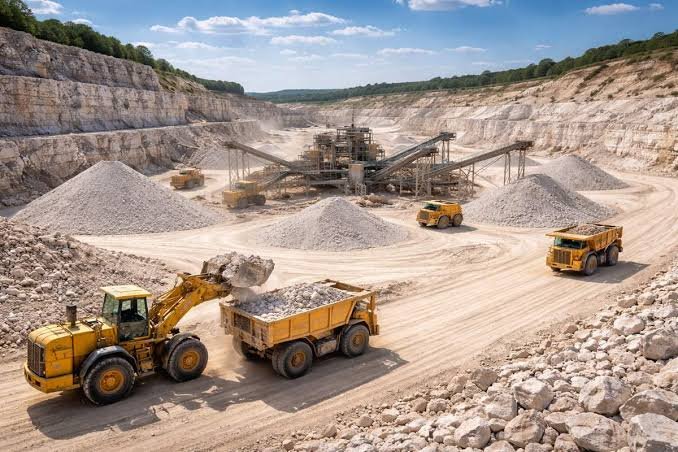
Real Estate • Construction • Mining • Industrial Facilities • Infrastructure • Property Management • Urban Development • Tourism • VR/AR
Deliverables
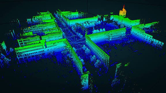
3D Point Clouds • 3D Mesh • 3D Terrain • Building Models • BIM Models • Digital Twins • GLB • OBJ • FBX • GIS/3D Data • VR/AR-ready Models
LAOEarth Advantage
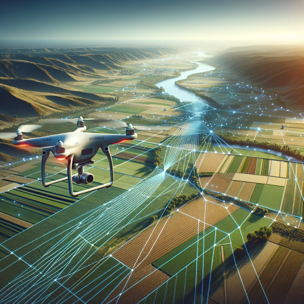
We transform physical environments into digital assets that can be explored, measured, analyzed, presented and managed.
LAOEarth TECHNOLOGY ECOSYSTEM
One Project. Multiple Technologies. One Integrated Solution.
Different projects require different technologies. LAOEarth selects the appropriate combination of tools based on project size, accuracy requirements, terrain, environment, budget and intended use.
SURVEY
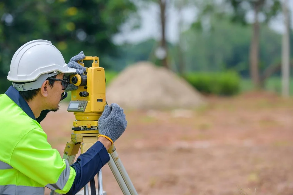
GNSS RTK • Total Station • Digital Level
For precise ground measurement and positioning.
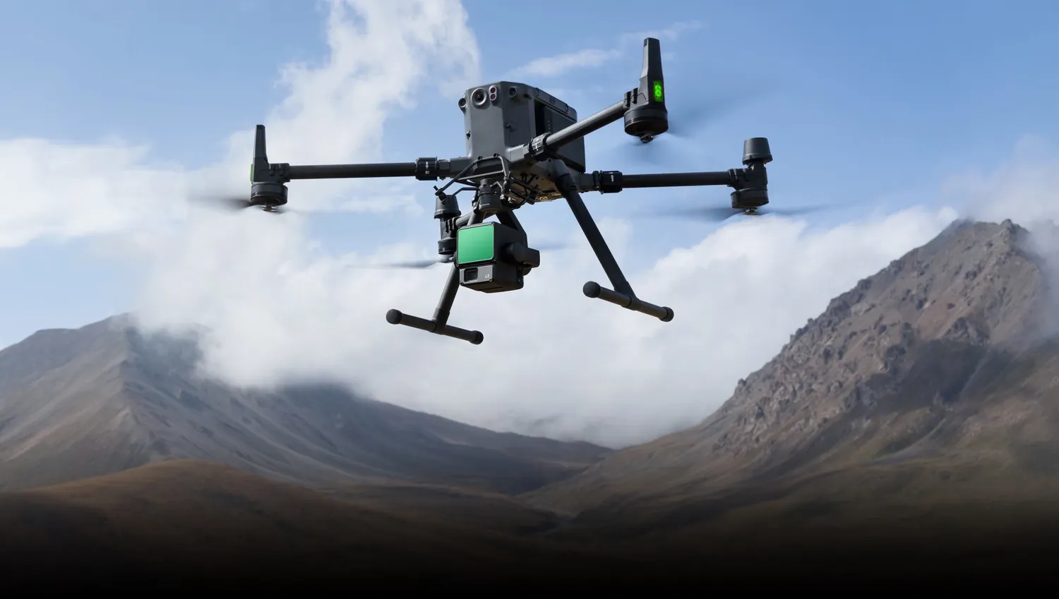
DRONE
RTK/PPK UAV • RGB • Multispectral
For rapid aerial mapping and large-area data capture.
LiDAR
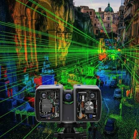
UAV LiDAR • Terrestrial Laser Scanner • SLAM
For high-density 3D reality capture.
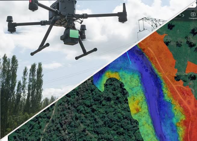
PHOTOGRAMMETRY
DJI Terra • Metashape • Pix4D
For converting aerial imagery into accurate maps and 3D models.
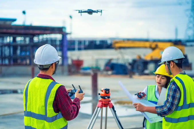
GIS
ArcGIS • QGIS • PostGIS • GeoServer
For managing, analyzing and visualizing spatial information.
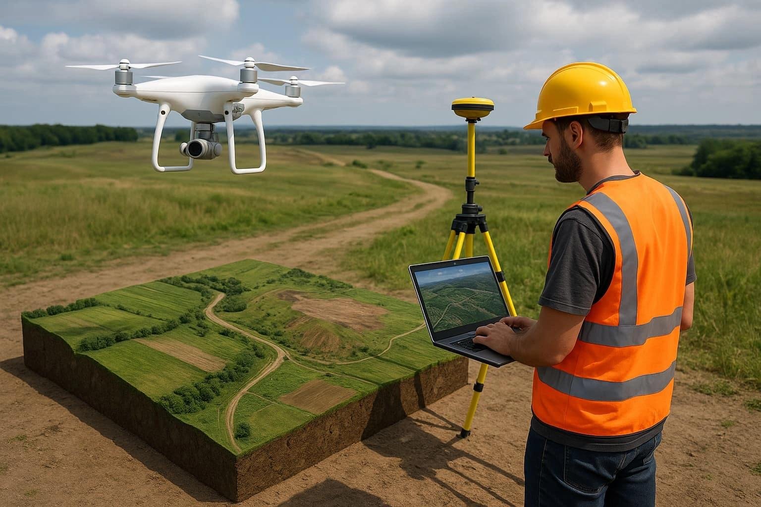
3D
Point Cloud • Mesh • BIM • Digital Twin
For creating intelligent digital representations of the real world.
FROM LAND TO DIGITAL TWIN
Our Integrated Geospatial Workflow
1
MEASURE
GNSS • Total Station • Level
2
CAPTURE
Drone • LiDAR • Laser Scanner • SLAM
3
PROCESS
Survey Processing • Photogrammetry • Point Cloud
4
MAP
CAD • GIS • Orthophoto • Digital Terrain
5
MODEL
3D • BIM • Digital Twin
6
ANALYZE & VISUALIZE
GIS • Spatial Intelligence • 3D Visualization