AGRICULTURE & LAND DEVELOPMENT MAPPING
Understand Your Land. Optimize Your Resources. Agricultural land is more than a boundary on a map.
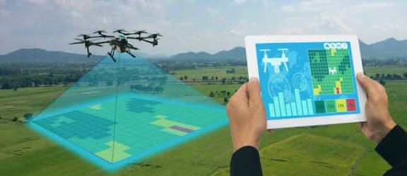
Terrain, elevation, drainage, accessibility, land use and vegetation all influence how land can be developed and managed. LAOEarth combines GNSS, drone mapping, GIS, remote sensing and spatial analysis to create detailed digital information for agricultural and land development projects.
What We Provide
Agricultural Mapping
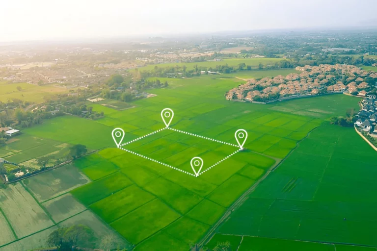
• Farm boundary mapping
• Plantation mapping
• Land-use mapping
• Crop area measurement
• Field mapping
Land Development Analysis
• Terrain analysis
• Slope analysis
• Drainage mapping
• Road and access planning
• Irrigation mapping
• Land suitability analysis
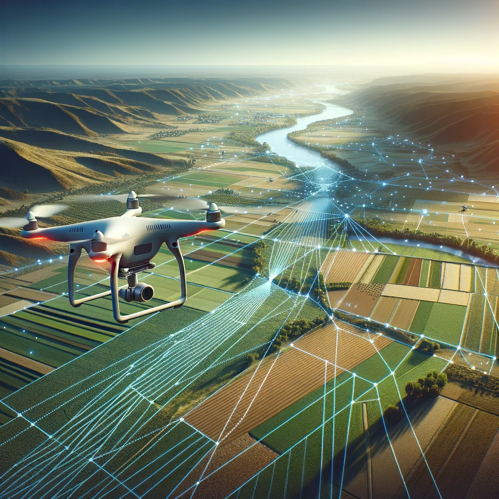
Drone & Remote Sensing
• Crop monitoring
• Vegetation monitoring
• Plantation inspection
• Change detection
• Large-area land monitoring
Tools & Technology
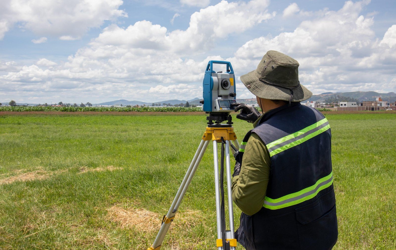
• GNSS RTK
• RTK / PPK Drone
• RGB Drone Camera
• Multispectral Camera
• GIS
• QGIS
• ArcGIS
• Satellite Imagery
• Remote Sensing Technology
• Digital Elevation Models