DRONE MAPPING & PHOTOGRAMMETRY
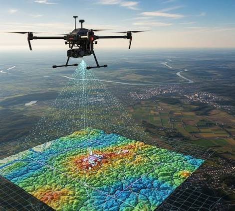
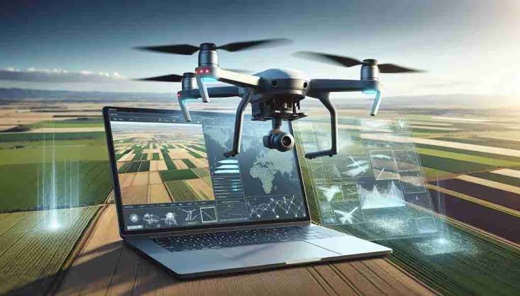
LAOEarth uses professional RTK/PPK drone technology and photogrammetry to rapidly capture high-resolution aerial information and transform it into accurate, measurable maps and 3D models.
Our drone mapping services provide a powerful combination of speed, coverage and visual detail, while ground survey control ensures reliable positioning and measurement.
What We Provide
Aerial mapping Drone topographic survey Orthophoto generation Digital Surface Model (DSM) Digital Terrain Model (DTM) Digital Elevation Model (DEM) 3D terrain modelling Construction progress monitoring Stockpile volume calculation Land-use mapping Large-area site inspection Development monitoring
Tools & Technology
- RTK / PPK Drones
- High-resolution RGB Cameras
- GNSS RTK
- Ground Control Points (GCP)
- Check Points
- Photogrammetry Software
- DJI Terra
- Agisoft Metashape
- Pix4D
Typical Applications
Land Development • Construction • Mining • Agriculture • Quarry • Infrastructure • Real Estate • Environmental Monitoring
Deliverables
Orthophoto • GeoTIFF • DEM • DSM • DTM • Contour Maps • Point Clouds • 3D Models • CAD Data • GIS Data • Volume Reports
LAOEarth Advantage
Traditional surveying tells you what is happening on the ground. Drone mapping lets you see the bigger picture.