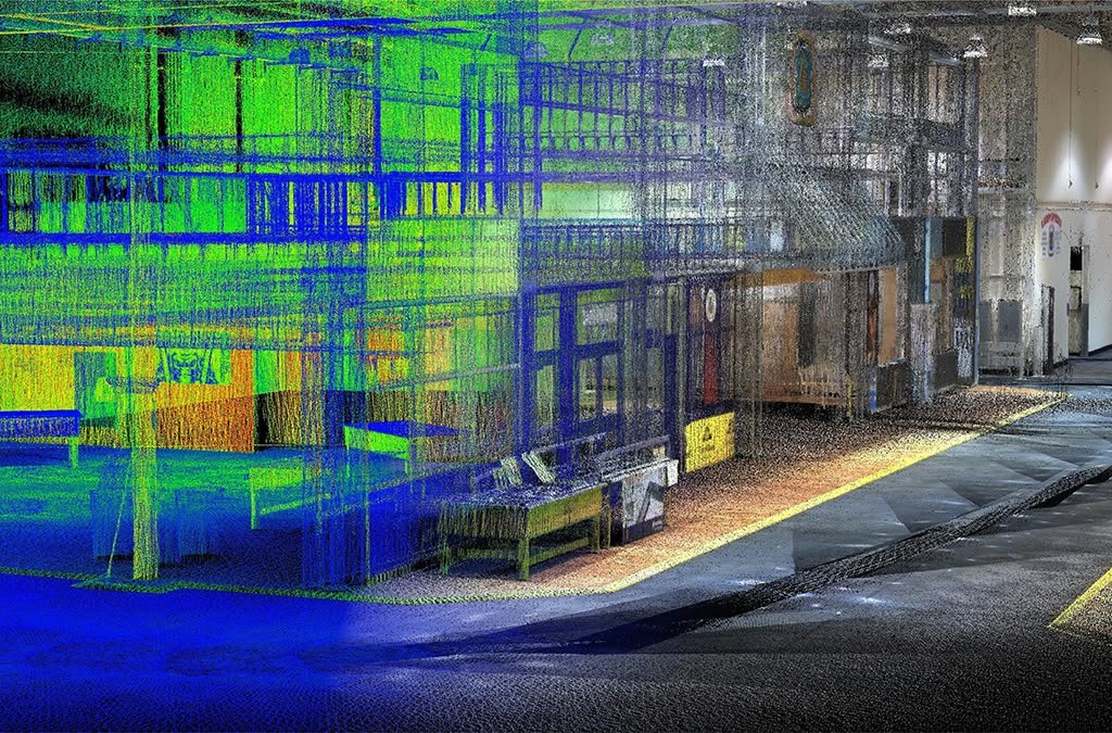
LAOEarth SURVEY • MAPPING • GIS • LiDAR • 3D
From Land Measurement to Digital Intelligence
At LAOEarth, we combine professional surveying expertise with modern geospatial technologies to measure, map, analyze and digitize the physical world.
From a small land parcel to a large mining operation, construction project or entire development area, we provide reliable spatial information that helps our clients plan better, build accurately, manage efficiently and make smarter decisions.
LAND & TOPOGRAPHIC SURVEY
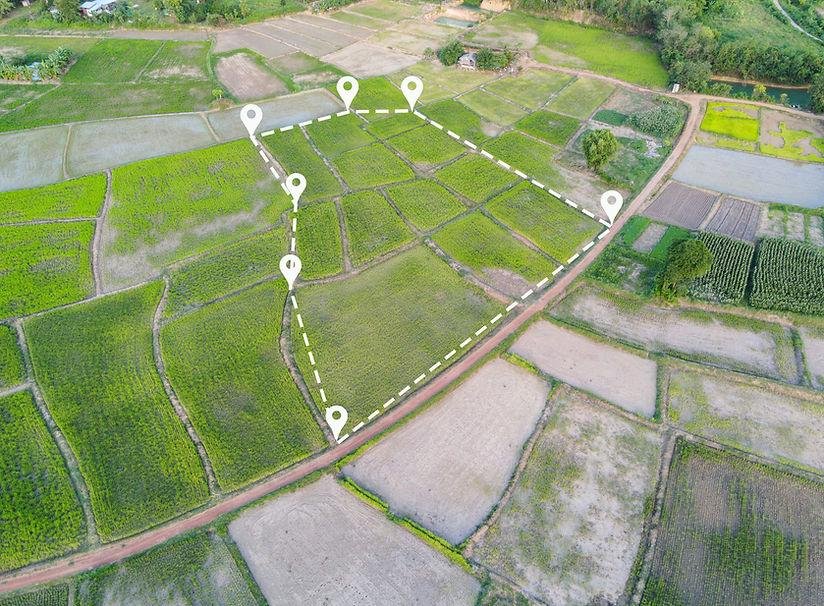
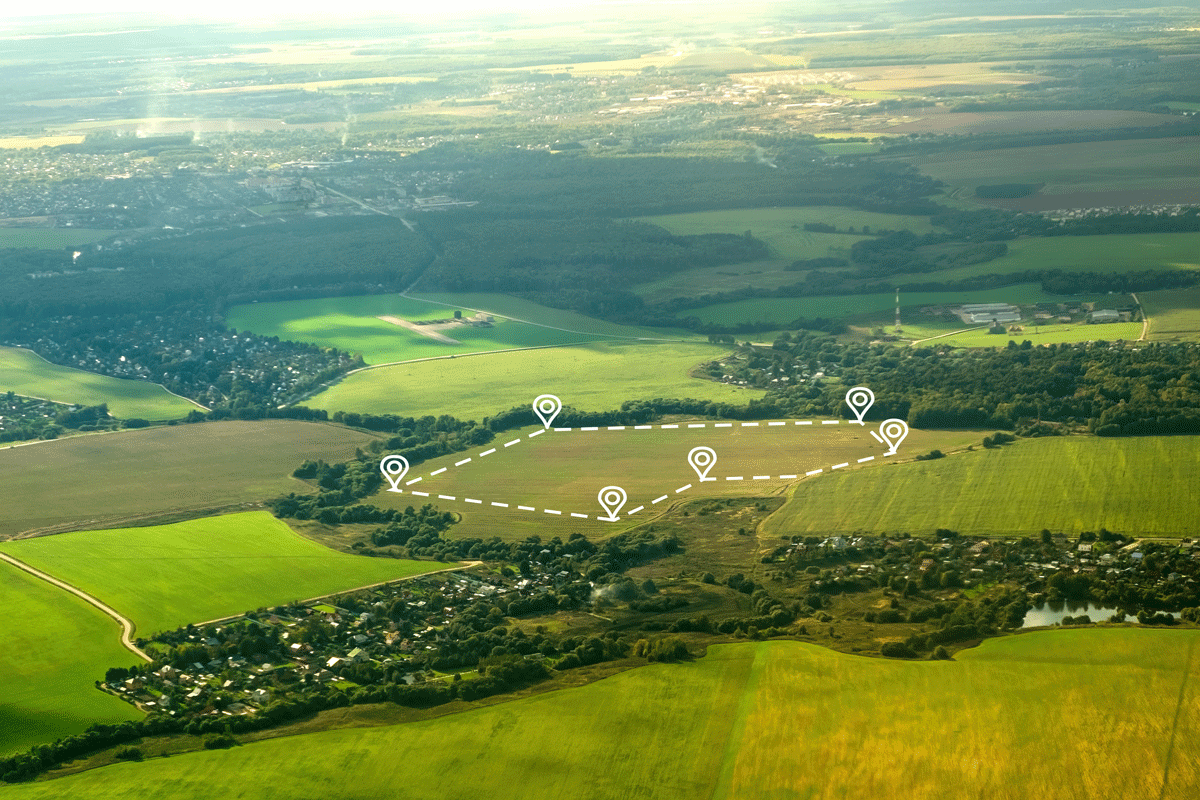
Know Your Land. Build with Confidence. Accurate land information is the foundation of every successful property, infrastructure and development project.
LAOEarth provides professional land and topographic surveying to accurately determine boundaries, coordinates, dimensions, elevations, contours and existing site conditions.
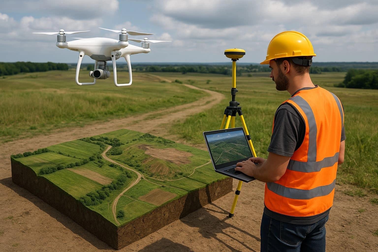
Our survey teams combine GNSS positioning, Total Station measurements and professional survey processing to produce reliable data for land development, construction, property transactions, engineering design and planning.
Topographic Survey
• Terrain and elevation survey
• Contour mapping
• Existing ground level survey
• Slope analysis
• Natural and man-made feature mapping
• Drainage and water feature mapping
Site Survey
• Existing site condition survey
• Road and access survey
• Building and structure survey
• Utility and infrastructure mapping
• Development site preparation