

OUR TECHNOLOGY
Technology Meets Professional Field Expertise Technology is only valuable when it produces accurate and useful information.
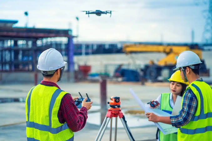
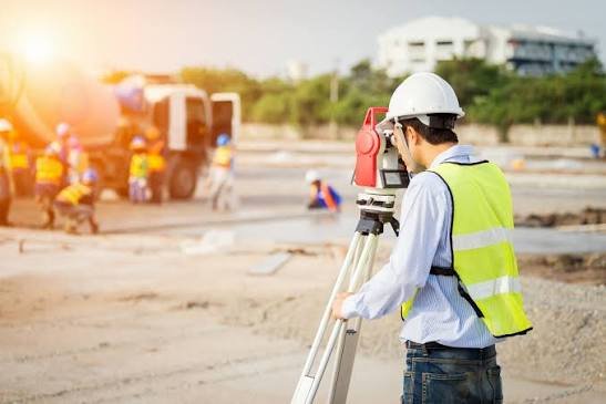
LAOEarth combines professional field surveying with modern equipment and data-processing technologies, selecting the appropriate methodology according to each project's objectives, site conditions and required deliverables.
GNSS RTK
High-precision positioning for land surveying, control points, boundaries and construction applications.Total Station
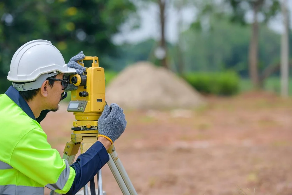
Precision measurement for land, engineering and construction surveying.Drone
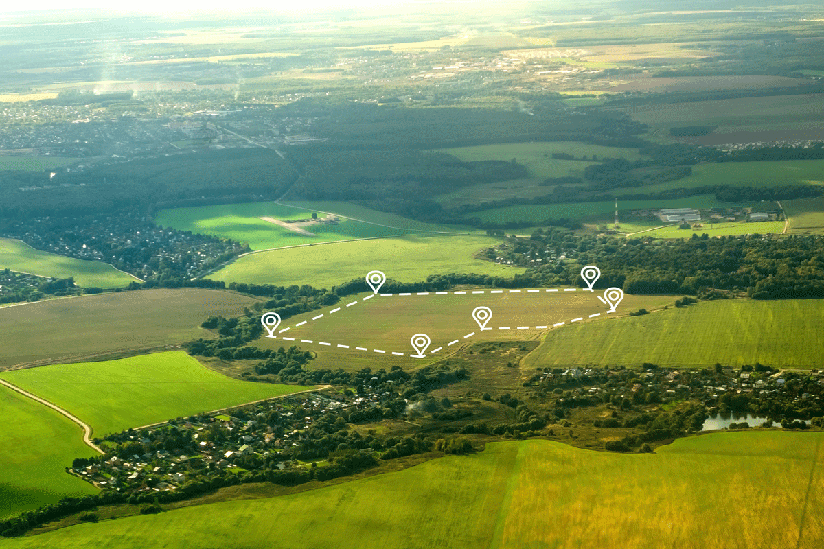
Rapid aerial data capture for large areas and difficult-to-access locations.LiDAR
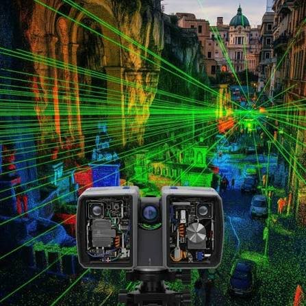
High-density 3D measurement for terrain, vegetation, structures and complex environments.SLAM
Mobile 3D scanning for buildings, facilities and complex indoor or outdoor environments.GIS
Spatial databases, mapping, analysis and location-based information.3D Modelling
Point clouds, textured meshes and digital 3D environments.Digital Twin
Digital representations of physical assets and environments for visualization, analysis and management.
OUR APPROACH
Measure. Capture. Process. Map. Model. Understand. Every project follows a structured workflow designed to maintain data quality and deliver practical results.
01 — Understand
We understand the client's objectives, site conditions and required deliverables.

02 — Plan
We select the appropriate survey methodology, equipment and data-collection strategy.
03 — Measure & Capture
Our field team collects accurate ground, aerial and 3D data using appropriate technologies.
04 — Process
Survey data, imagery, point clouds and spatial information are processed and quality-controlled.
05 — Deliver
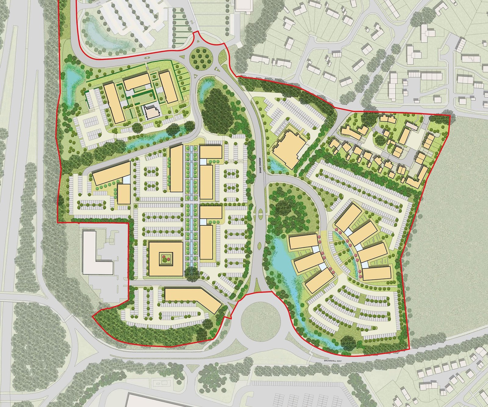
We provide the required survey plans, maps, drawings, databases, models and digital outputs.
06 — Support
Where required, we support clients in using their geospatial information for planning, development, monitoring and decision-making.
This post is also available in:
Technologies and Approaches