

LiDAR & 3D REALITY CAPTURE Capture Reality. Digitize Every Detail.
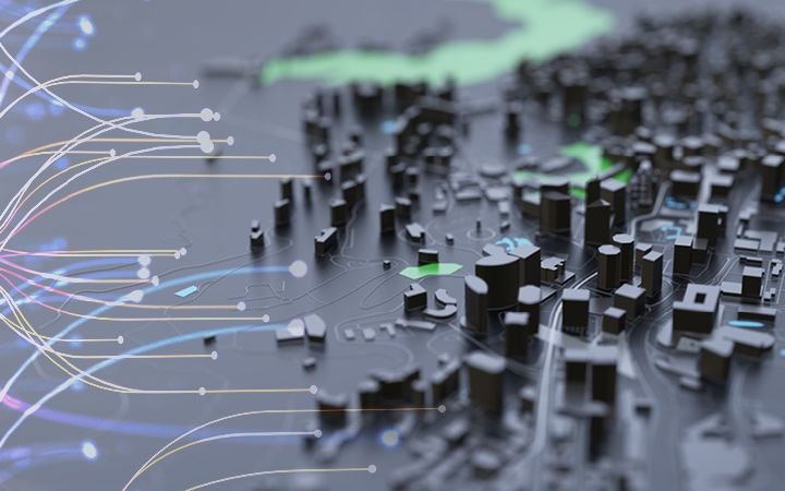
For complex environments, conventional surveying may not provide enough information. LAOEarth uses LiDAR, laser scanning and SLAM technology to capture millions of precise points from the real world and transform them into highly detailed digital representations. From open-pit mines and forests to buildings, factories, tunnels and infrastructure, our reality-capture solutions provide detailed 3D information that can be measured, analyzed and reused.
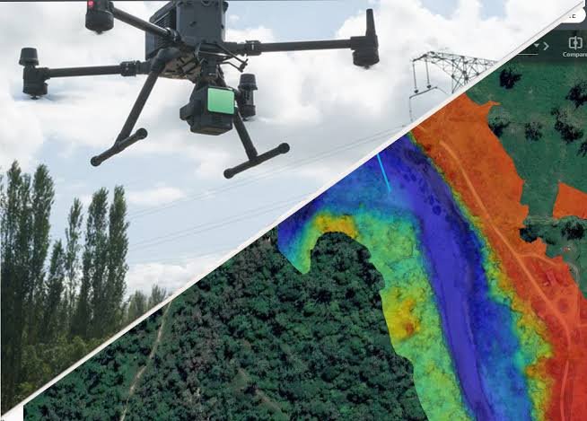
What We Provide UAV LiDAR Survey
• Large-area terrain mapping
• Difficult and inaccessible terrain
• Vegetation-covered areas
• Mining and quarry mapping
• Forest and environmental mapping
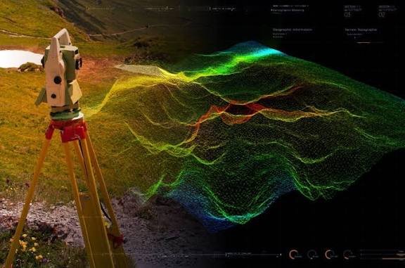
Terrestrial Laser Scanning
• Building scanning
• Industrial facility scanning
• Structural documentation
• Detailed as-built survey
• Infrastructure scanning
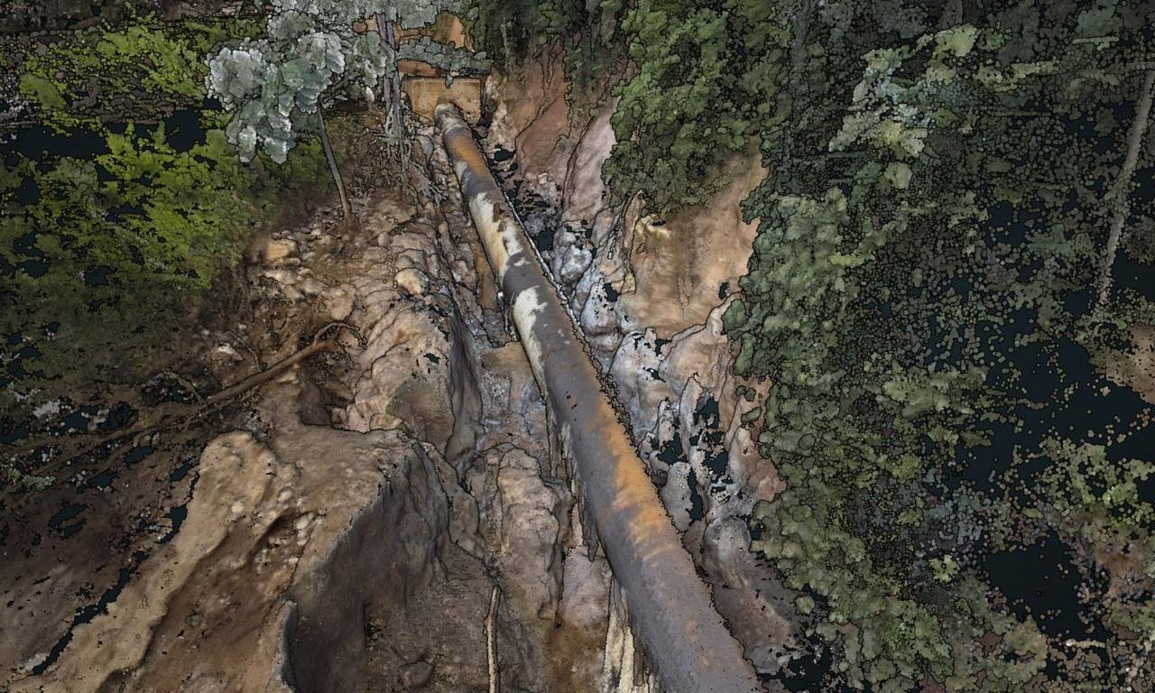
SLAM 3D Scanning
• Indoor mapping
• Warehouse scanning
• Complex buildings
• Tunnel and corridor mapping
• Rapid mobile scanning
Tools & Technology
• UAV LiDAR
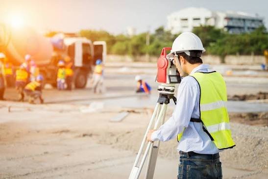
• Terrestrial Laser Scanner
• Handheld / Mobile SLAM Scanner
• GNSS RTK
• Total Station
• LiDAR Processing Software
• LiDAR360
• Leica Cyclone
• Trimble RealWorks
• CloudCompare
• Autodesk ReCap
Typical Applications
Mining • Construction • Industrial Facilities • Buildings • Infrastructure • Forestry • Engineering • Heritage • Asset Management
Deliverables
Point Clouds • LAS / LAZ • E57 • 3D Mesh • Digital Terrain Models • Sections • Elevations • As-Built Data • 3D Models
LAOEarth Advantage
We don't just measure selected points. We capture the environment and turn reality into detailed digital data.
This post is also available in: