

This post is also available in:
Turning Land into Digital Intelligence
LaoEarth provides professional Survey, Mapping & Geospatial Solutions for property, construction, mining, infrastructure, agriculture and development projects across Lao PDR.
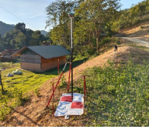
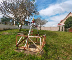
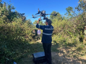
From traditional land measurement to advanced UAV LiDAR, drone mapping, SLAM scanning, GIS and 3D Digital Twin technology, we capture the physical world and transform it into accurate, measurable and actionable digital information.
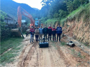
Our portfolio showcases projects where geospatial technology helps clients understand their land, measure their assets, plan development, monitor projects and make better decisions.
Measure. Map. Model. Understand.
kindly see our portfolio, our recent project from above menu !