


GIS & SPATIAL INTELLIGENCE
Turn Location Data into Better Decisions. Every property, road, building, river, farm, mine and infrastructure asset has something in common: Location.
LAOEarth transforms geographic information into structured Geographic Information Systems (GIS) that allow organizations to visualize, manage, analyze and understand their assets and land. Instead of looking at disconnected maps and spreadsheets, our GIS solutions bring spatial information together into one intelligent environment. What We Provide
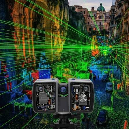

What We Provide
GIS Database Development
• Land parcel databases
• Property databases
• Road and infrastructure databases
• Utility mapping
• Building databases
• Agriculture databases
• Mining databases
Spatial Analysis
• Land-use analysis
• Accessibility analysis
• Location analysis
• Development suitability
• Infrastructure planning
• Risk and proximity analysis
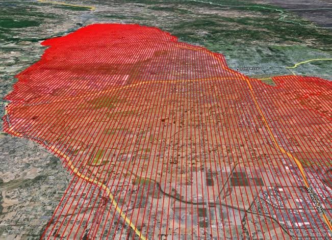

Web GIS
• Interactive online maps
• Asset mapping
• Project dashboards
• Location-based information systems
• Field data collection
Tools & Technology
• ArcGIS Pro
• QGIS
• PostgreSQL / PostGIS
• GeoServer
• ArcGIS Online
• ArcGIS Field Maps
• Survey123
• Satellite Imagery
• Remote Sensing Data
• Spatial Analysis Tools

Typical Applications
Buildings • Roads • Bridges • Industrial Facilities • Commercial Projects • Residential Development • Infrastructure
Deliverables
Setting-Out Data • Survey Drawings • Construction Control Data • Elevation Records • Cut/Fill Calculations • Progress Maps • As-Built Drawings • 3D Site Data
LAOEarth Advantage
Measure correctly before you build. Verify accurately while you build. Document precisely after you build.
This post is also available in: